
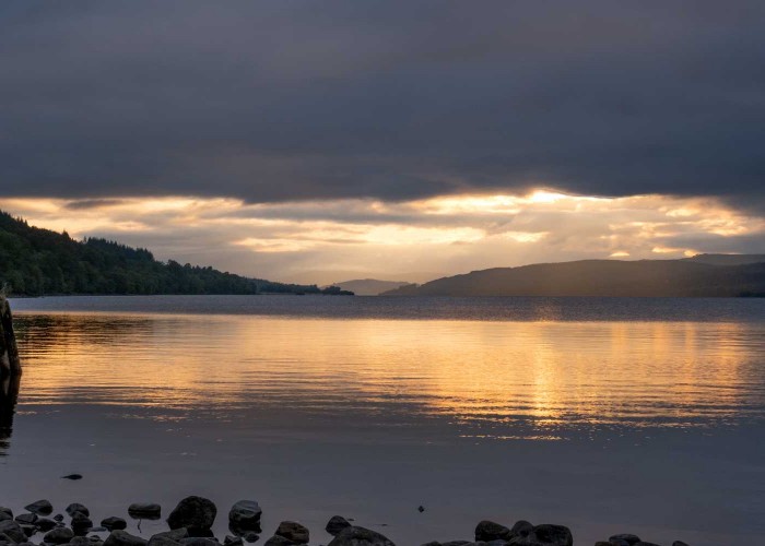
Rannoch
The village of Kinloch Rannoch was created in the period after the '45. It is a nomenclatural oddity.
MoreMuch of what is now called Breadalbane used to be in Atholl but the incoming Campbells of Glenorchy took the name as the title of their earldom. They seem to have influenced William Stobie who produced a map of Perthshire in 1783. In it the word 'Breadalbane' is writ large over both sides of Loch Tay, most of which was part of Atholl. Someone must have complained since, in later editions of the map, Breadalbane was kept very firmly on the south side of the loch. But the precedent had been set and the district name crept east and north as the family acquired land. In 1823, Atholl began east of the confluence of the Lyon and the Tay. Now even Aberfeldy considers itself to be in Breadalbane.
For nearly five centuries Loch Tay was the private pond of one of the most powerful families in Scotland. Originating from Kilchurn castle on Loch Awe, the Campbells of Glenorchy, later earls and marquises of Breadalbane, had the power of life and death over everyone in their realm. They bought, parleyed, plotted and married their way into half a million acres stretching from Aberfeldy to the Atlantic.

In 1432 Black Colin obtained Glenorchy, between Killin and Tyndrum, from his father. By his death in 1475, he had obtained control of both ends of Loch Tay as well as bits in between. His son built the castle at Finlarig near Killin with its gallows tree and beheading pit before being killed at the battle of Flodden. The sixth laird, Grey Colin, was fostered by the chief of the MacGregors but, a few years after becoming laird, he forced the clan off their lands and out of their castle at Balloch where Taymouth now stands. Colin set himself up there at the eastern edge of his properties. His intention was to continue his progress towards the North Sea but he was thwarted by Clan Donnachaidh and the Stewarts who owed allegiance to the earls and dukes of Atholl, aristocrats as grand and as ruthless as himself, against whose lands he now abutted. They had even more swords at their backs than the Campbells.
Amongst those who lost their lands to this branch of the Campbell clan were the Fletchers, MacNabs, Dewars and, above all, the MacGregors. The latter had been the most powerful clan along the loch and were understandably miffed at being ousted but the Campbells made it their business to harry surviving clansmen and women wherever they were to be found. They even had a pack of hounds said to have been suckled by a MacGregor woman so that they would scent only MacGregors and hunt them down. Without land the clan was forced to live by banditry until eventually the very name was extirpated and survivors changed their names to, for example, Drummond, Murray or Anderson and thus created enormous confusion to modern genealogists.
Black Duncan of the Cowl, the 7th laird, plotted to take over the lands of his chief the earl of Argyll and was party to the murder of the earl of Moray in 1592. He was accused of trafficking with witches and wizards to obtain his evil ends. Then the nation was riven by strife and rebellions during which the the great men of the families of Argyll, Atholl and Campbell of Breadalbane jockeyed for power and position.
Those who suffered were their people. In 1639, at the very beginning of the civil wars, Breadalbane and Argyll supported Presbyterianism against the Episcopalianism of Charles 1. An army from Loch Tayside confronted the Athollmen across the river Lyon a couple of miles from Taymouth. The earl of Atholl was tricked and captured whilst his followers were beaten in battle at the top of the Pass over to Strathtummel.
Revenge came in 1645. The marquis of Montrose had a royalist army consisting of the Athollmen and the ferocious Irish Macdonalds under Alastair McColla who had already burned his way across Argyll. Breadalbane was on high alert in face of McColla's men making raids of Loch Tayside across the Lyon. To quote the minister of Kenmore, William Gillies, 'In December Montrose himself with his whole host descended upon Breadalbane like a whirlwind. Macdonalds, MacGregors, MacNabs and others were let loose upon the countryside. They killed all the men found with arms, they burned every house, destroyed the corn stacks, and drove away the cattle. Even the kirk at Kenmore did not escape. Its door was broken and the basin for baptism stolen. As the Royalist army swept along both sides of the loch, it left a trail of desolation behind it.'
The same thing took place a generation later. The marquis of Argyll supported Monmouth's rebellion against James VII. In 1685, the Athollmen were dispatched to beat up Inveraray. On their way, they burned their way down both sides of the loch. Once again the widows and orphans wailed and were saddled with the job of feeding themselves without a husband.
John Campbell, the next laird, was the first earl of Breadalbane. He was described by a contemporary as being cunning as a fox, wise a serpent, but as slippery as an eel. In 1691, he persuaded the government to give him £12,000 that he would distribute round the Highlands to keep them peaceful. Asked four years later what he had done with it, he replied 'The money is spent, the Highlands are quiet, and this is the only way of accounting among friends'. He was unjustly implicated in the Massacre of Glencoe but, as an old man, remade his reputation in the Highlands with his support for the Rising of 1715. His successor surprisingly employed Rob Roy to look after his estates in Argyllshire and worked hard to repair the damage to his lands on Loch Tay caused by the civil wars. The family were opposed to Bonnie Prince Charlie and, when the Jacobites sent the Fiery Cross round the loch - the last time this ancient method of raising men was used - the response was negligible. The runner did the round trip in three hours.
The village of Kinloch Rannoch was created in the period after the '45. It is a nomenclatural oddity.
More
Situated in the central part of Scotland, Strathtummel is within easy reach of highland Perthshire, home to historical sites and
More
Along the north face of the strath between Logierait and Aberfeldy are eleven estates whose boundaries have been largely unchanged
More
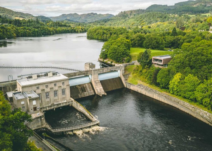
Pitlochry has kept pace with the times. Thousands come from all over the world to make this one of the most important stops on the
More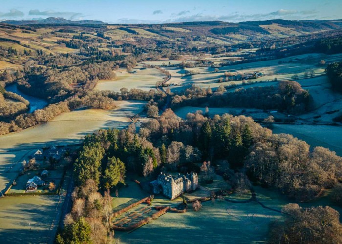

St Mary's Chapel in Grantully near Aberfeldy with a magnificent 1600s painted ceiling
More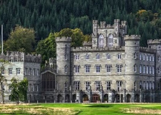
The spectacular Gothic edifice of Taymouth Castle is one of the grandest buildings in Scotland. Most was completed in 1807 by
More
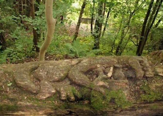
The name comes from the word 'uamh' in Gaelic which means cave. The caves are in the wooded crags above the village
More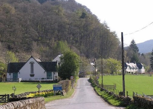
Recently crop marks have been observed much closer to the village and, although confirmation is still needed, they show signs of b
More
Dunalastair and the estate is home to rare wildlife of Perthshire with offers scenic strolls around famous gardens
More
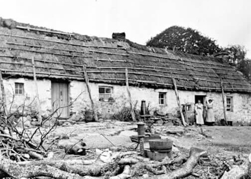

Some appreciate Highland Perthshire as no more than one of the most beautiful parts of Scotland.
More
The chiefs of Clan Menzies used to have their seat at Comrie Castle on the south bank of the river Lyon
More
Dunkeld and its cathedral were saved by the Dukes of Atholl. They were the law across 500 square miles of the Highl
More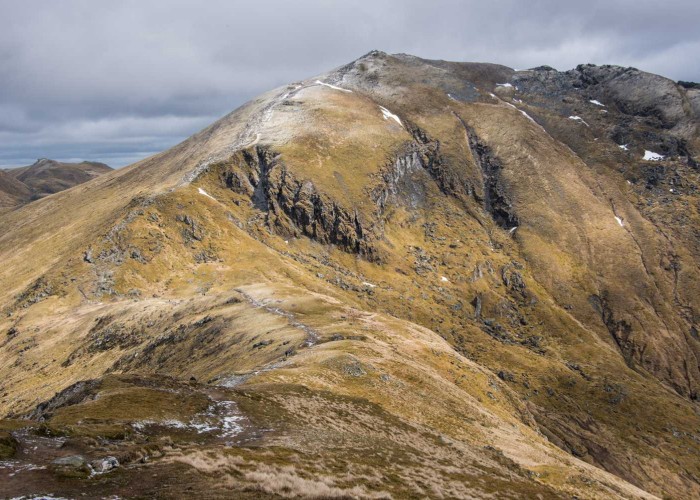
In the last few summers, Glasgow University archeologists have been exploring the mountain and have discovered t
More
Once fortifications would have covered the site of Garth Castle but now only the central keep remains
More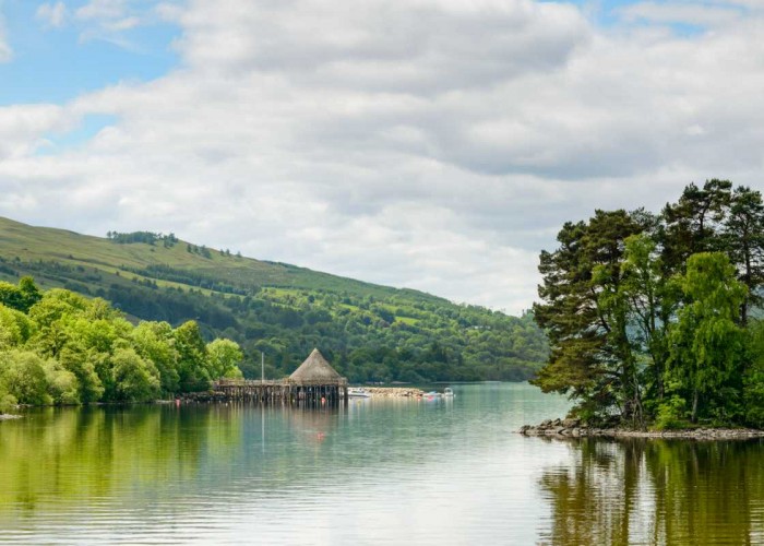
This, Scotland's sixth biggest loch, covers six and half thousand acres in its 14 miles between Kenmore and Killin. For thousan
More
The Glen was once home to over a thousand folk and on one of the best trodden thoroughfares between the western Highlands and the E
More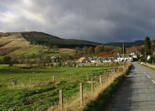
The statue to David Stewart of Garth, erected by the Stewart Society in 1925, in the uniform of a Black Watch captain
More
The double stone circle of Mary's Croft, an impressive standing stone monument in highland Perthshire
More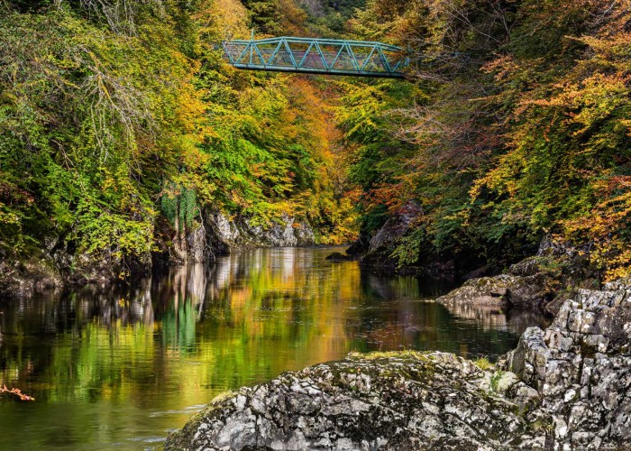

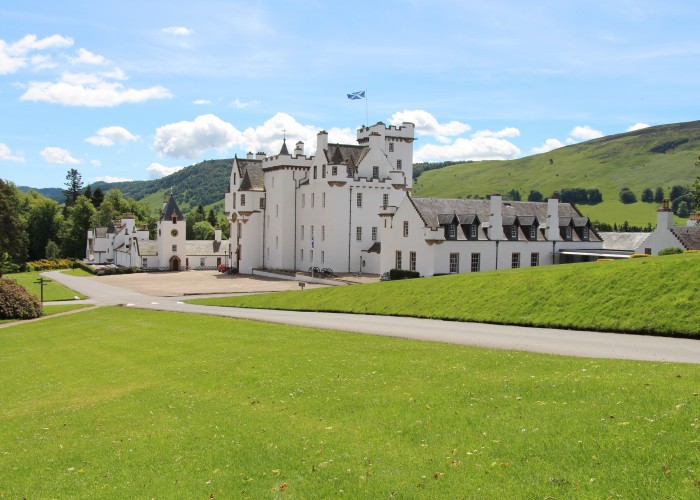

Aberfeldy is what used to be called a thriving market town. The market has long closed but the town still thrives.
More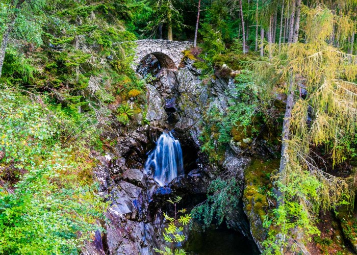
The site of the clan centre at Bruar is at the base of one of those spectacular gorges carved through soft rock by a burn in spate
More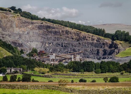
The history behind Shierglas Quarry - Set back the busy A9 road, connecting the south and north of Scotland.
More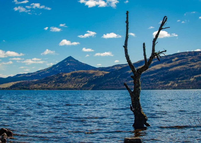
Like an island, the peak of Schiehallion stood above the ice. The millennia of frost left the shattered boulders and scree that
More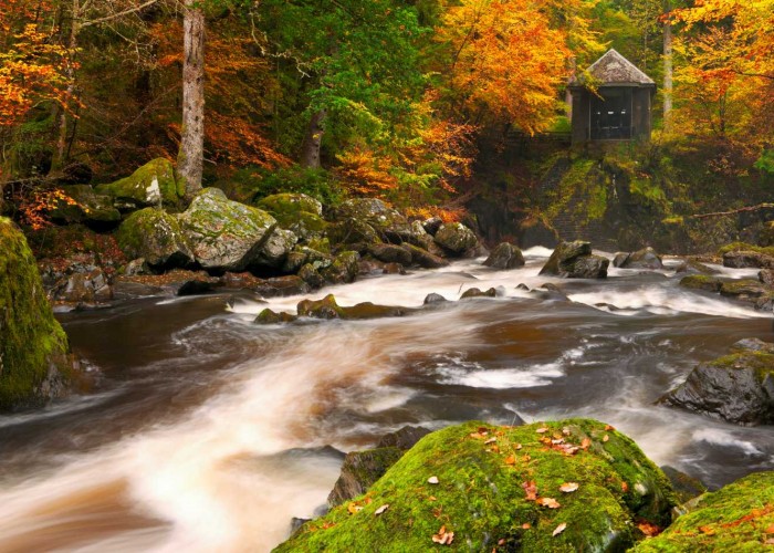
The building contained a chandelier and its walls were lined with mirrors reflecting the falls of turbulent river which was int
More
The castle, in private hands, dates from the late 1600s but doubled in size early this century.
More