
Rannoch
The village of Kinloch Rannoch was created in the period after the '45. It is a nomenclatural oddity.
MoreIn very few places did the Highland soil produce enough oatmeal to feed the population. The deficit was made up by the sale of cattle. If harvest was poor, raiding was the only way to survive. Atholl was a buffer between the wildest Highlanders and the Lowlands where the richest pickings were to be had, and Athollmen had always to be on the alert to preserve their own beasts. Rannoch was the worst of the badlands. There lived broken men, those who lived without the protection of their own clans and chiefs. A visit to the moor will show why any resident there could not hope to survive without thieving from someone else.
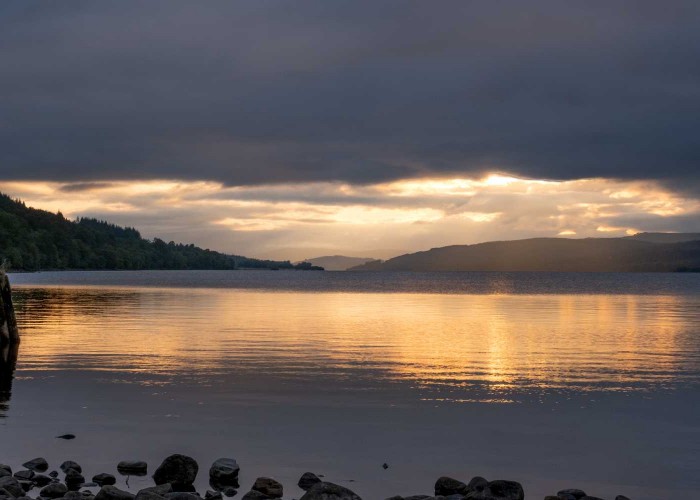
The great straths of Atholl are Strathtay and Strathgarry. Along Strathtummel - where the heather tracks led onward to the Isles - the land was less fertile and the natives less accessible and more hostile. Here more than anywhere in the area the shape of the countryside has been altered by man. Run up the Tummel from the Cluny dam in Pitlochry and there are three more dams each taking electricity from the action of water over the landscape. The crow could fly forty miles west across the great barren reaches of Rannoch Moor to the edge of Glencoe and still be in the catchment area of the Tummel. The dam at Cluny has lifted Loch Tummel fourteen feet, swamping an island stronghold of the chiefs of Clan Donnachaidh where once flourished a heronry, and drowning much of the haughland to the west.
With John Brown, Queen Victoria did a circular tour of this area in 1866. She stopped to brew a cup of tea near Tummel Bridge and was then arrested by a sign reading Queen's View. She had never been at the spot before but gave her blessing on this example of the native entrepreneurial spirit. The view she admired looking up the strath to Schiehallion has been enhanced since the loch beneath rose. The same may be said for the road along the south side of the loch towards Foss. A hundred years ago, a writer designated it the most beautiful few miles in Scotland and it is difficult to doubt the raising of the water has further enriched it.

The strath has a violent and colourful history. As one enters is the Coillebrochain, Porridge Wood, said to immortalise one of the tens of thousands of meals eaten by King Robert Bruce. Perhaps some local landowner can invite the monarch for the night, and then rename the wood Full Scottish Breakfast. Bruce, having disposed of his rival Comyn, crowned himself king of Scots in 1306. Later that year he challenged the English commander Pembroke to venture from the city of Perth and do battle. Pembroke agreed to fight on the morrow, but attacked instead that night when the Scots were encamped in a wood. The monarch and his defeated supporters fled into the wildness of Atholl before he paused to enjoy his sylvan breakfast.
Sheltered by Duncan, first recognised chief of Clan Donnachaidh, Bruce and his queen stayed in Strathtummel, living off the land almost as outlaws. He won a victory against an English army at Kinloch Rannoch. Innerhadden was where the battle started, Dalchosnie next door means field of victory, Glen Sassun is the glen of the southerners through which advanced the English troops. The king ventured west and was defeated near Tyndrum by the McDougall of Lorne, who supported the Comyn claim to the throne, and retired back to Strathtummel. A ford on the Tummel, now beneath Dunalastair Water, was the King's ford. The King's Hall was just in the woods to the south and the Queen's Pool was a little further downstream.
North of the Tummel are Fincastle and Bonskeid, ancient Stewart estates still held by descendants of the Wolf of Badenoch. Parchment charters record the 600 year-old rights of the occupiers of the strath. Before that the Picts showed ownership by building castles and fortified homesteads. Standing stones and burial mounds are the only territorial markers left by even earlier peoples - no doubt just as proud of their forebears and rights of possession as the Gaels who later made the landscape their own.
The hills to the south of the strath are rich in minerals, as well as deer, mountain hares and ptarmigan. In spite of the fish ladders round the dams the salmon are fewer than they used to be and, since the war, the numbers of grouse which once swarmed on the moorlands have crashed catastrophically. This has been a managed landscape since man's first arrival. Managing it for a crop of grouse meant the hard persecution of species that preyed upon them. Disease and the decline of keepering as well as changed farming practice has hammered the grouse population, but the sight of the eagle, peregrine, hen harrier, merlin, and osprey may seem a fair recompense from an environment where mankind has withdrawn the heaviest of hands. High in the hills is a barytes mine and great trucks carrying the mineral coexist amicably with the wildlife. The ore is crushed to provide a lubricating mud for oil drilling.
Before wheels it was quicker to go over a mountain rather than round it. The great herds of cattle from north-west Scotland crossed Tummel Bridge and the Tay at Inchadney near Taymouth before taking to the hills through Glen Quaich towards Crieff. As land became enclosed, drovers were forced to stay on roads which were hard on the feet of the beasts. This allowed the smith at Trinafour to thrive on shoeing the animals on their way south.
Observers often saw these great drifts of cattle as resembling water flowing over a landscape - moving slowly across the plains in a broad stream, splitting round rocks and then being channelled into rapids by a gorge or a narrow glen.
The drovers were Highlanders, wearing plaids and carrying broadswords and targes. The risk of robbery was ever-present and even when the authorities were trying to disarm the Highlands these men were licensed to carry weapons. After the cattle were sold, the drovers often continued south with the beasts which fattened near London before being slaughtered and fed to the capital or the navy. These Highlanders formed the only image of the clansman that most southerners would ever see, more exotic than the black servants of the plantation-owning gentry or the gypsies with their dancing bears. Often the men would return by ship in spring after spending a comfortable winter in the south with one of the matrons who found the bare thighs of the plaid-wearing Highlander objects of interest, as did the bawdy balladeers of the day. 'Will you row me in your plaidie, Oh my bonny Highland Laddie?' runs one eighteenth century ditty.
The cattle dogs were dismissed on reaching their destination to return home under their own volition. The drover himself would pay the innkeeper next season for the food he would have given the dog as it passed through the previous autumn.
The village of Kinloch Rannoch was created in the period after the '45. It is a nomenclatural oddity.
More
Along the north face of the strath between Logierait and Aberfeldy are eleven estates whose boundaries have been largely unchanged
More
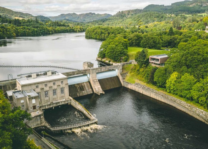
Pitlochry has kept pace with the times. Thousands come from all over the world to make this one of the most important stops on the
More

St Mary's Chapel in Grantully near Aberfeldy with a magnificent 1600s painted ceiling
More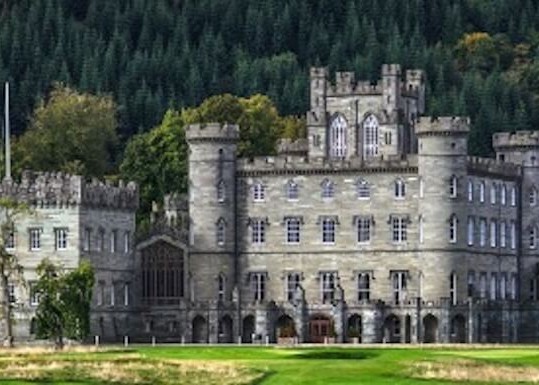
The spectacular Gothic edifice of Taymouth Castle is one of the grandest buildings in Scotland. Most was completed in 1807 by
More
Much of what is now called Breadalbane used to be in Atholl but the incoming Campbells of Glenorchy took the name as the title of
More
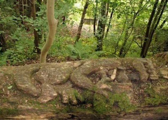
The name comes from the word 'uamh' in Gaelic which means cave. The caves are in the wooded crags above the village
More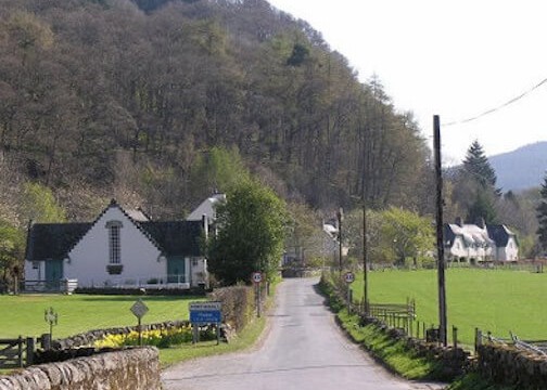
Recently crop marks have been observed much closer to the village and, although confirmation is still needed, they show signs of b
More
Dunalastair and the estate is home to rare wildlife of Perthshire with offers scenic strolls around famous gardens
More
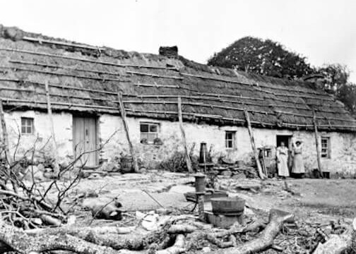

Some appreciate Highland Perthshire as no more than one of the most beautiful parts of Scotland.
More
The chiefs of Clan Menzies used to have their seat at Comrie Castle on the south bank of the river Lyon
More
Dunkeld and its cathedral were saved by the Dukes of Atholl. They were the law across 500 square miles of the Highl
More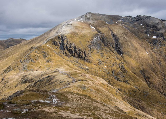
In the last few summers, Glasgow University archeologists have been exploring the mountain and have discovered t
More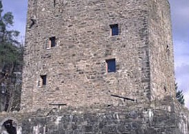
Once fortifications would have covered the site of Garth Castle but now only the central keep remains
More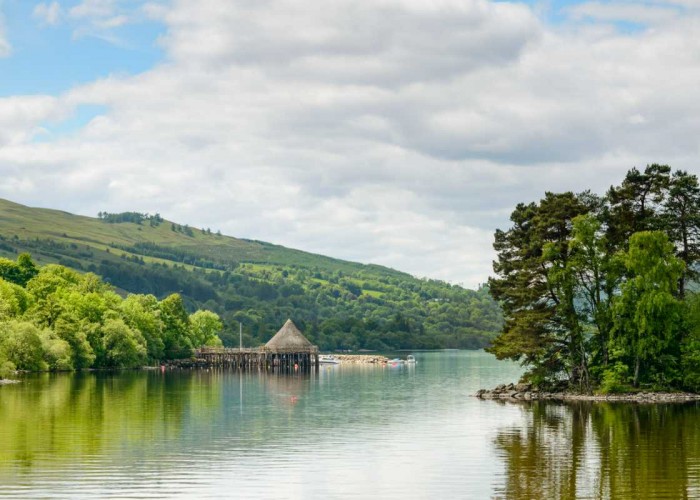
This, Scotland's sixth biggest loch, covers six and half thousand acres in its 14 miles between Kenmore and Killin. For thousan
More
The Glen was once home to over a thousand folk and on one of the best trodden thoroughfares between the western Highlands and the E
More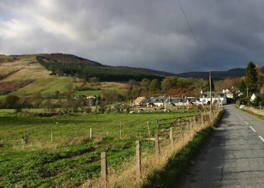
The statue to David Stewart of Garth, erected by the Stewart Society in 1925, in the uniform of a Black Watch captain
More
The double stone circle of Mary's Croft, an impressive standing stone monument in highland Perthshire
More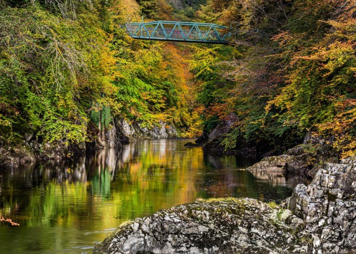

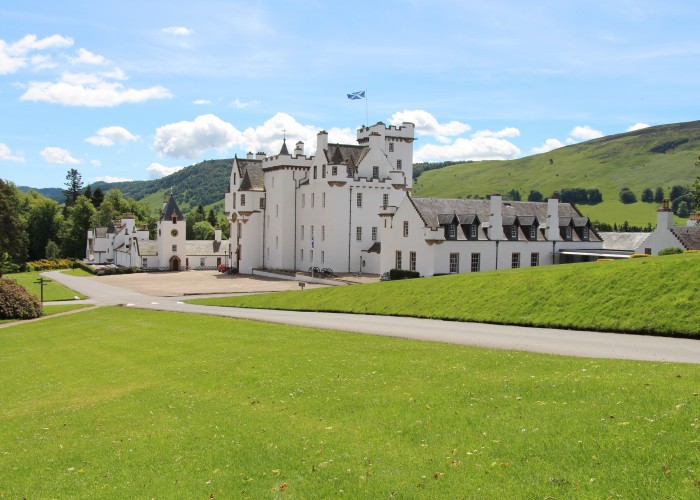

Aberfeldy is what used to be called a thriving market town. The market has long closed but the town still thrives.
More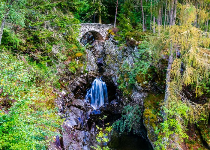
The site of the clan centre at Bruar is at the base of one of those spectacular gorges carved through soft rock by a burn in spate
More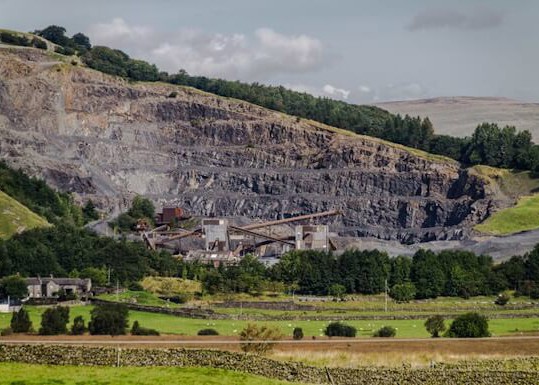
The history behind Shierglas Quarry - Set back the busy A9 road, connecting the south and north of Scotland.
More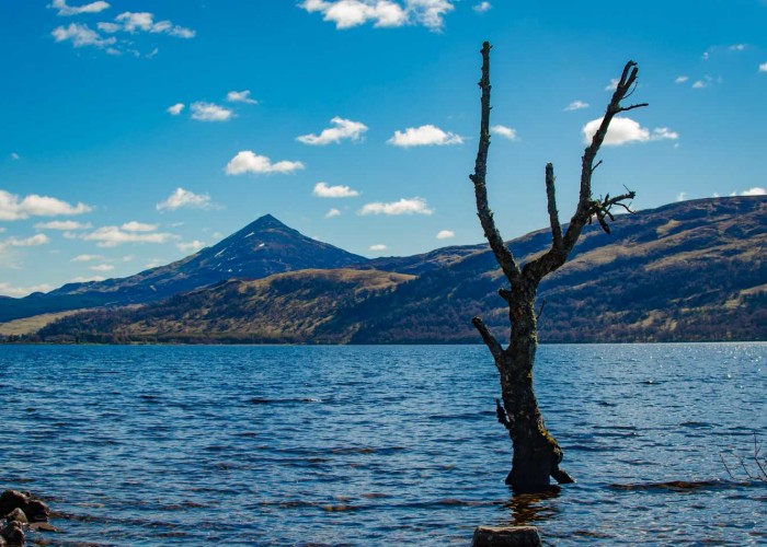
Like an island, the peak of Schiehallion stood above the ice. The millennia of frost left the shattered boulders and scree that
More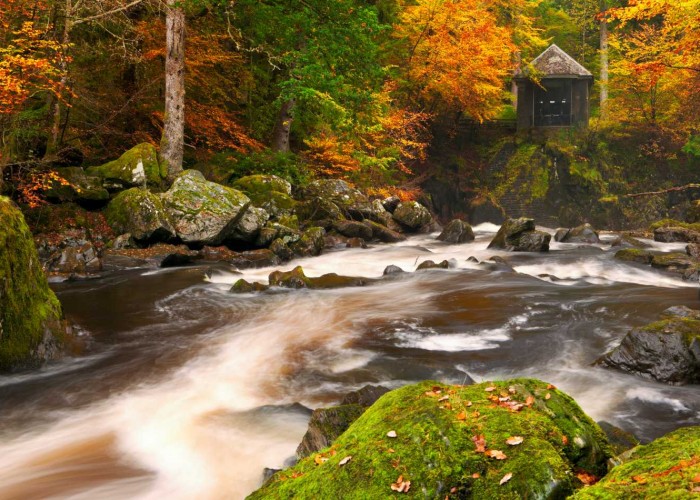
The building contained a chandelier and its walls were lined with mirrors reflecting the falls of turbulent river which was int
More
The castle, in private hands, dates from the late 1600s but doubled in size early this century.
More