
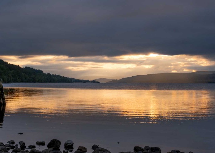
Rannoch
The village of Kinloch Rannoch was created in the period after the '45. It is a nomenclatural oddity.
MoreSome appreciate Highland Perthshire as no more than one of the most beautiful parts of Scotland. But what makes a place special is bound up with many things.
Of course scenery and the quality of the environment are a large part of it but the fourth dimension - time - has transformed the bare hills. Humanity was the instrument of time and it is our predecessors who named the landmarks and shaped the countryside.
To understand this magnificent landscape, one must appreciate something of its legends and history, often inextricably interlinked, as well as the way of life of its people. By knowing this one's appreciation of its beauty is enhanced.
The homeland of the 'children of Duncan' in Highland Perthshire was once described as stretching from the Moor of Rannoch to the gates of Perth. Profitable farming in a moorland and mountain landscape became increasingly difficult and the last lands belonging to the Chiefs were sold in 1926. However, the Clan Donnachaidh Society later purchased a plot of land for the creation of a Clan Museum at Bruar, which opened in 1969. The beautiful landscape of mountains, moorland, rivers, lochs, glens and forests lies all around. The Clan Society holds a gathering alongside the AGM every year, providing an opportunity for members to meet other clansfolk and discover the clan area. Many people with clan surnames also travel individually to visit the Clan Museum and discover the clan country.

350 MILLION YEARS ago Scotland gave a great shake and developed a fault which runs by Dumbarton, Callander, and Dunkeld before curving north. South and east of this boundary are the Lowlands of Scotland; to the north and west lie the Highlands. For centuries this line represented the greatest cultural boundary in Europe. South of the river Forth at the dawn of history, the people were of Germanic stock, originally subjects of the kingdom of Northumbria which stretched down to the Humber. In the south west of Scotland they were British, in the far north and far west from Scandinavia but in the Highlands they were Picts and Scots who had come from Ireland.
These two last peoples were united in 848 by Kenneth McAlpine to create the nucleus of modern Scotland, but the centre of power soon slipped south. For centuries afterwards the Highlands lay in a time warp, preserving the last tribal society in Europe. The people of Lowland Scotland had much in common with the English but by the sixteenth century Highlanders spoke a different language from the rest of Great Britain; they wore different clothes, had a different culture and customs, and habitually carried weapons. A mutual contempt was almost all these two societies had in common.
At the handful of passes into the rampart of frowning mountains, settlements grew where these two peoples could trade. Dunkeld was one of the most important of these interfaces and the straths to its north were amongst the richest and most fertile in the Highlands. Up until the beginning of the nineteenth century this was an unknown country to the sassenach - the southern Scot - peopled by strange and savage barbarians. Only the most intrepid traveller dared cross the Tay into the district of Atholl and endure the primitive conditions, the 'horrid' frowning hills, the bare moors, and the outlandish inhabitants.

To appreciate Atholl you need to get out of your car, not in a lay-by where you are buffeted by slipstreams, but somewhere - and there are plenty of such places - where you can find solitude. The ghosts of the past seem just on the edge of perception. The tree-clad hummock in an adjacent field may be an ancient tomb, a fairy's palace, a giant's castle, or an execution mound. The Scots pines on its summit may have been left because the plough could not touch them, or planted to mark the spot as one where drovers could overnight their cattle on the way to the markets of the south. The anonymous boulder in a corner of a meadow may have been known to generations as the point where a MacGregor had his throat slit, or where a lass should go at dawn on midsummer day to sip the dew to ensure her fertility. This country has the harsh skeleton that nature decreed, but the forests and the moors are fashioned by mankind and enriched by layer upon layer of human experience, now mostly forgotten.

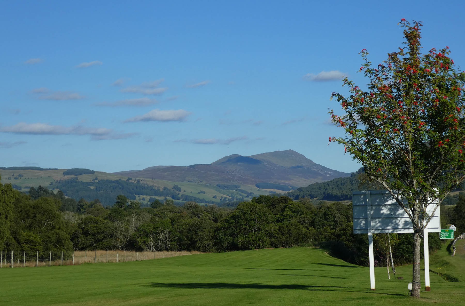
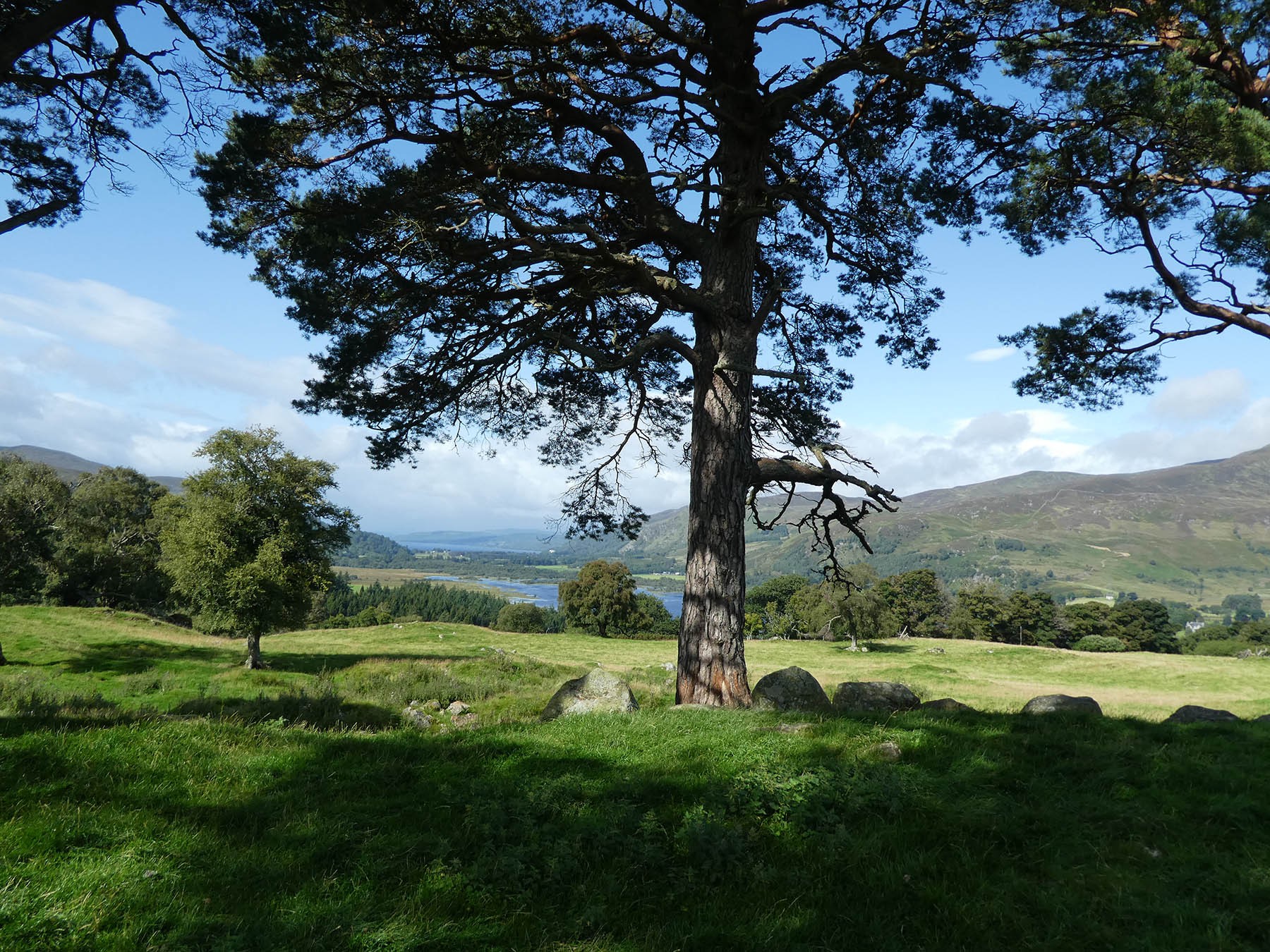


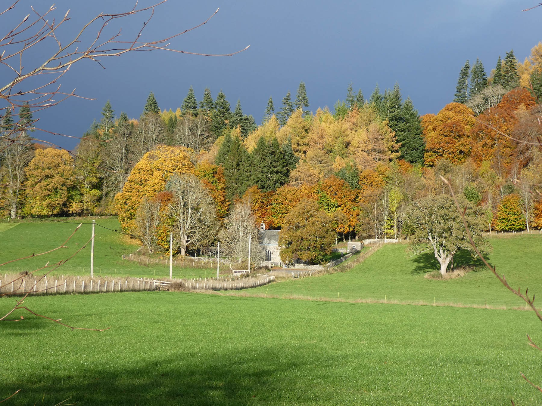


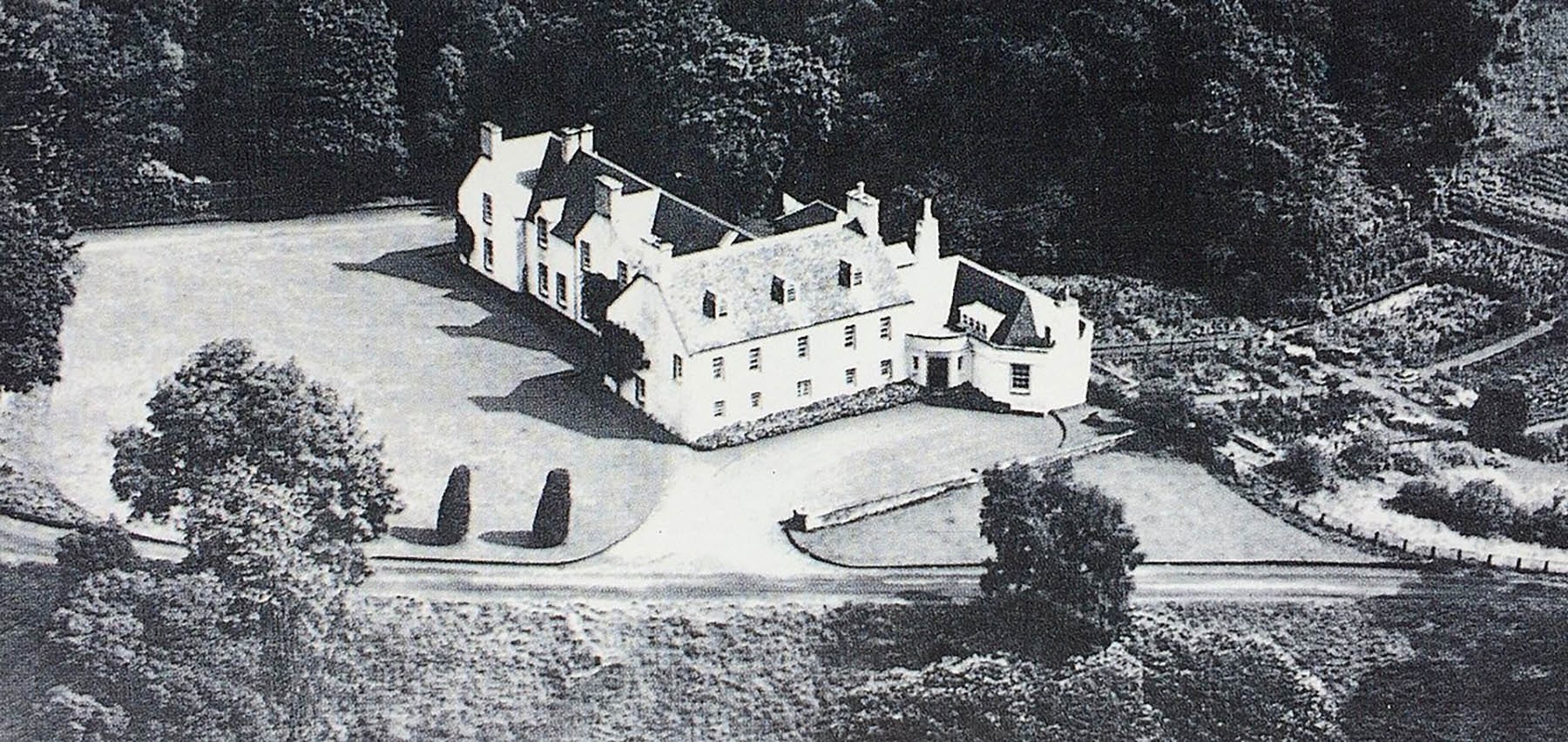
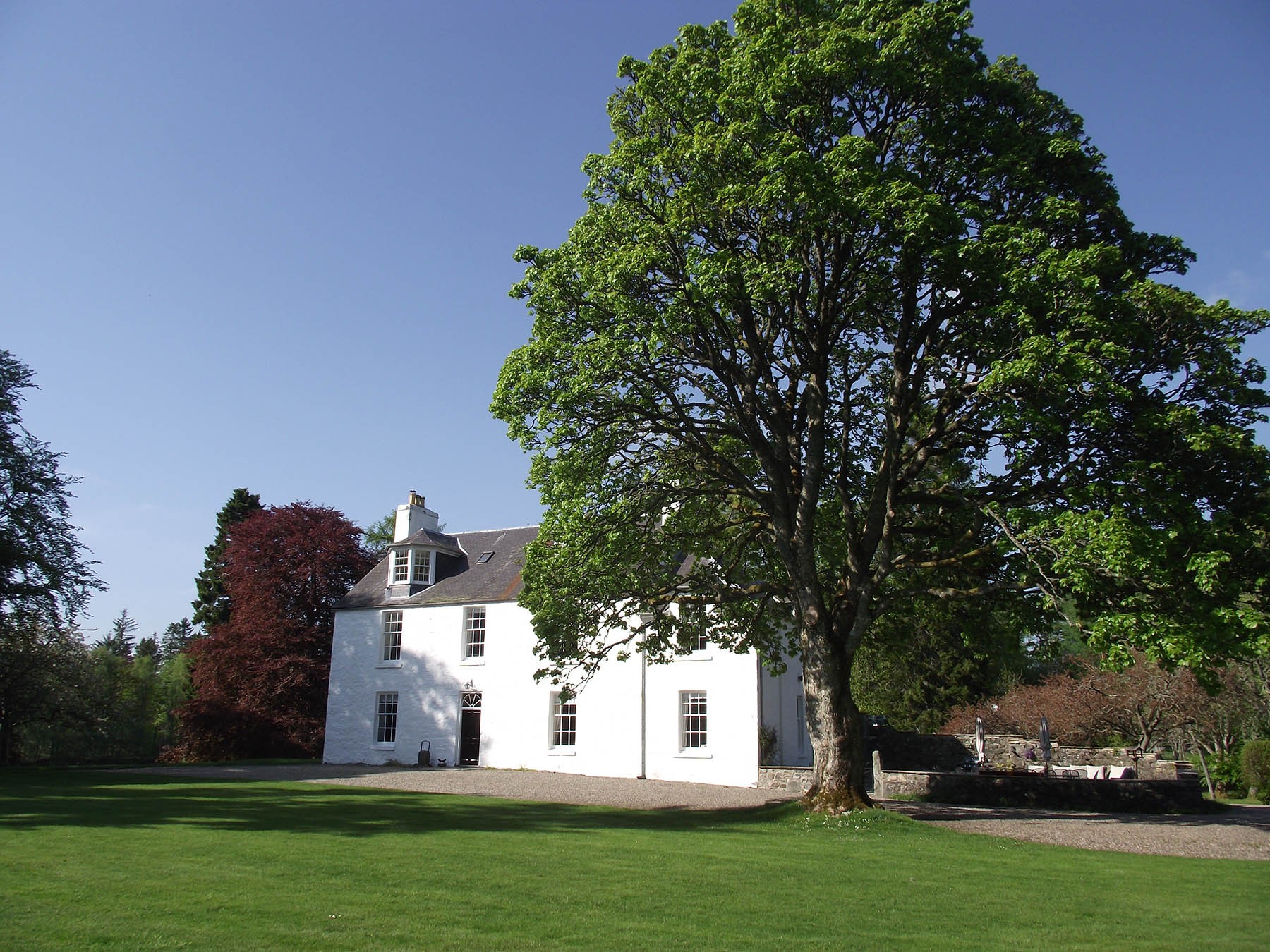
The village of Kinloch Rannoch was created in the period after the '45. It is a nomenclatural oddity.
More
Situated in the central part of Scotland, Strathtummel is within easy reach of highland Perthshire, home to historical sites and
More
Along the north face of the strath between Logierait and Aberfeldy are eleven estates whose boundaries have been largely unchanged
More
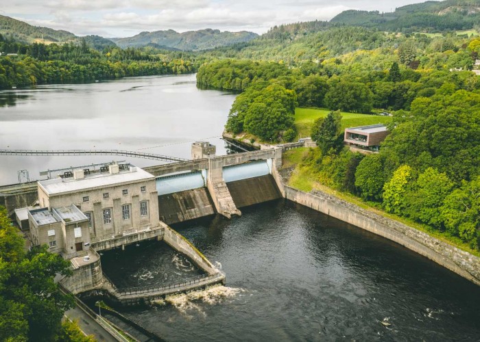
Pitlochry has kept pace with the times. Thousands come from all over the world to make this one of the most important stops on the
More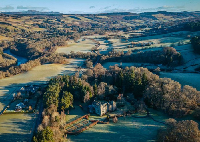

St Mary's Chapel in Grantully near Aberfeldy with a magnificent 1600s painted ceiling
More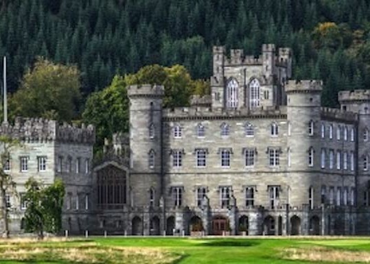
The spectacular Gothic edifice of Taymouth Castle is one of the grandest buildings in Scotland. Most was completed in 1807 by
More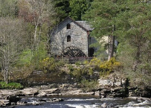
Much of what is now called Breadalbane used to be in Atholl but the incoming Campbells of Glenorchy took the name as the title of
More
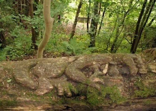
The name comes from the word 'uamh' in Gaelic which means cave. The caves are in the wooded crags above the village
More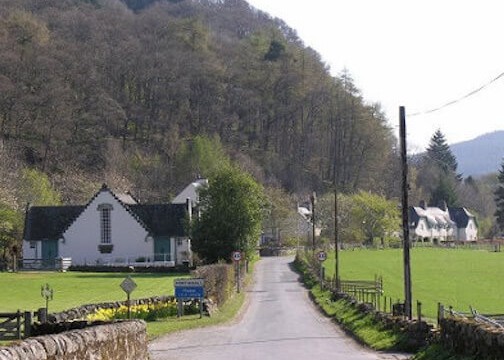
Recently crop marks have been observed much closer to the village and, although confirmation is still needed, they show signs of b
More
Dunalastair and the estate is home to rare wildlife of Perthshire with offers scenic strolls around famous gardens
More
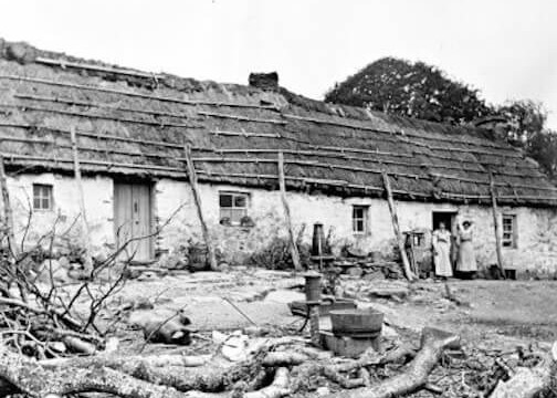

The chiefs of Clan Menzies used to have their seat at Comrie Castle on the south bank of the river Lyon
More
Dunkeld and its cathedral were saved by the Dukes of Atholl. They were the law across 500 square miles of the Highl
More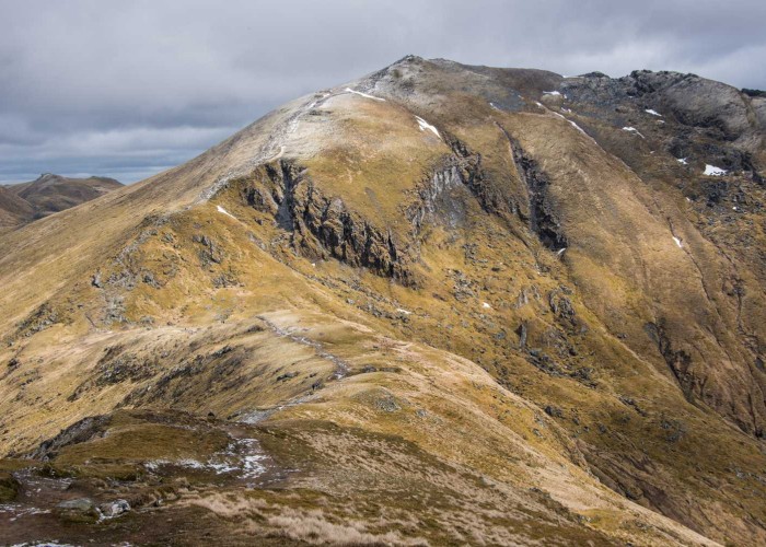
In the last few summers, Glasgow University archeologists have been exploring the mountain and have discovered t
More
Once fortifications would have covered the site of Garth Castle but now only the central keep remains
More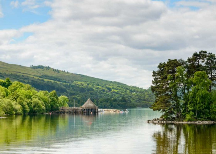
This, Scotland's sixth biggest loch, covers six and half thousand acres in its 14 miles between Kenmore and Killin. For thousan
More
The Glen was once home to over a thousand folk and on one of the best trodden thoroughfares between the western Highlands and the E
More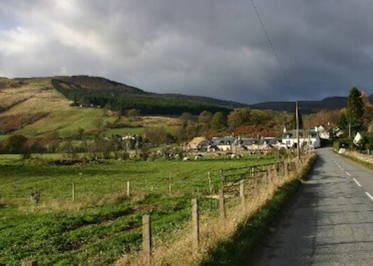
The statue to David Stewart of Garth, erected by the Stewart Society in 1925, in the uniform of a Black Watch captain
More
The double stone circle of Mary's Croft, an impressive standing stone monument in highland Perthshire
More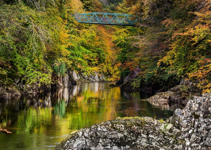


Aberfeldy is what used to be called a thriving market town. The market has long closed but the town still thrives.
More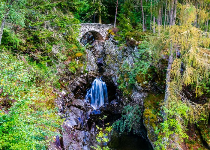
The site of the clan centre at Bruar is at the base of one of those spectacular gorges carved through soft rock by a burn in spate
More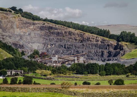
The history behind Shierglas Quarry - Set back the busy A9 road, connecting the south and north of Scotland.
More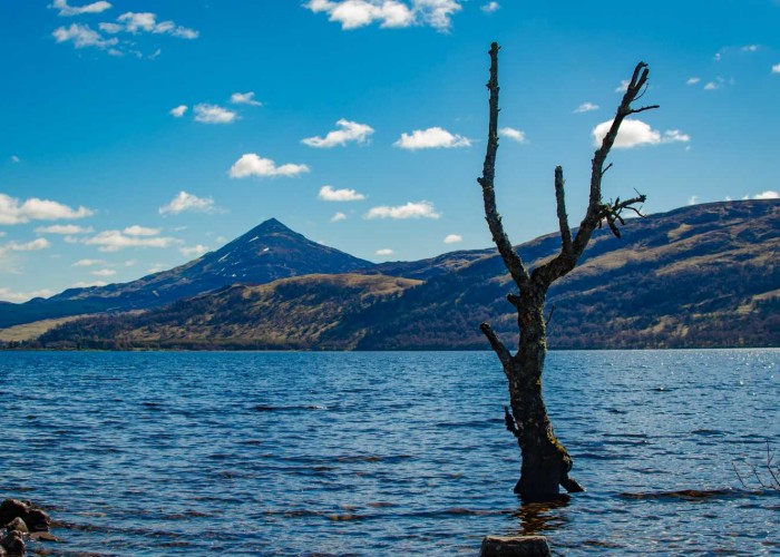
Like an island, the peak of Schiehallion stood above the ice. The millennia of frost left the shattered boulders and scree that
More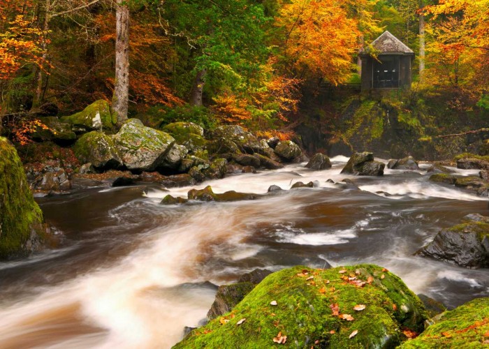
The building contained a chandelier and its walls were lined with mirrors reflecting the falls of turbulent river which was int
More
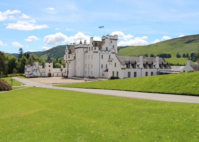
The castle, in private hands, dates from the late 1600s but doubled in size early this century.
More